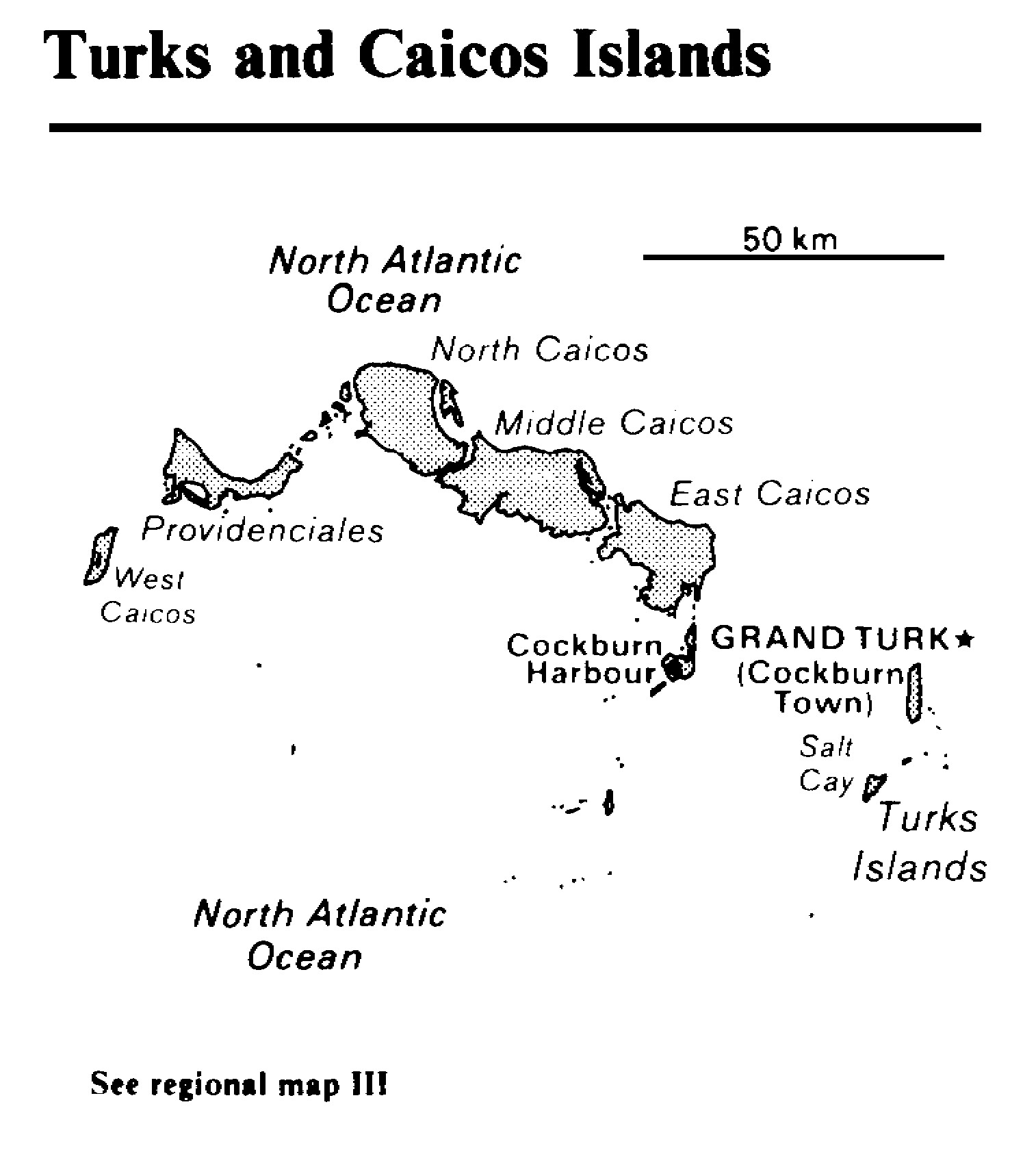
Labels:text | font | diagram | screenshot OCR: Turks and Caicos Islands North Atlantic 50 km Ocean North Caicos Middle Caicos East Caicos Providenciales West Caicos Cockburn & GRAND TURK* Harbour (Cockburn Town) Salt .. Cay .._- Turks Islands North Atlantic Ocean See regional map III